
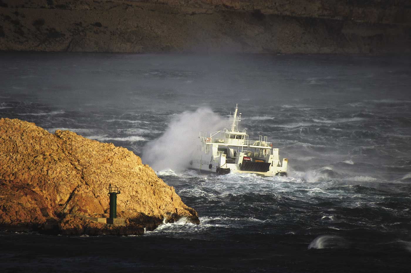
It would be unreasonable to expect that a particular wind will blow only in one specific month of the year. All winds appear at all times, but some are more frequent and stronger during certain parts of the year. If they blow at times when they are “not meant” to appear, they bring somewhat different weather conditions.
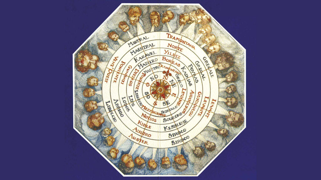
It can generally be said that winter is dominated by the jugo (SE) and the bura (NE), as well as winds related to them: the oštro (S), garbin (SSE), lebić (SE) and tramonatana (N), and the levantara (E), which shares characteristics of both the jugo and the bura. The devastating pulentada (W) is also common during winter.
The master of summer is the breezy maestral (NW), together with the Etesian winds over the open sea. Summer is the time of breezes blowing out to sea (burin) or from the sea (zmorac). During the transitional seasons of spring and autumn, all of these winds alternate from year to year with varying frequency and strength, with some not occurring at all.
JANUARY
“When January arrives, big tides and pulentadas disappear.”
A storm-force or even hurricane-force bura (NE) is not unusual in January. When the Eastern European (Siberian) anticyclone, whose western part influences the Adriatic, strengthens, the anticyclonic or “light” bura reigns over the Adriatic Sea. It brings cold weather all the way to the sea, creates sea smoke and deposits a layer of salt on the exposed shores of the Adriatic islands.
The bura blows in gusts that can exceed 200 km/h, making safe sailing impossible. However, since it usually dies down around midday, if the sky is clear, the bravest among us will raise their sails and set sail. During the bura, the air is generally, but not always, crystal clear, with good visibility. The mixing of the cold air brought by the bura and the warmer air over the sea can create an optical blur, which can reduce visibility to less than a kilometre.
The maestral, or, more precisely, the winter maestral (NW), is possible in both January and February. This wind has a steady direction and moderate strength. Since it blows from the sea, which is by this time very cold, it brings cold weather and humid air, accompanied by haze or fog. The saying “Maestral in the winter, the devil from hell” tells us how bitterly cold and unpleasant it can feel. It does not last long, 2 to 3 days at most, and it is a sign of changing weather. It is usually followed by the jugo, as the old saying confirms: “El maistro de el rufina del scirocco,” meaning “The maestral is the jugo’s pimp.”
FEBRUARY
“Candlemas (Svijećnica, February 2nd) blurs the sea all the way to the bottom.”
The bura in February is, in most cases, no different from that of January. It causes large and long-lasting ebb tides. A cyclonic bura (“dark” bura) is possible in both January and February. It will soon change into an anticyclonic bura, but can also bring snow to the coast. During February, especially at the beginning of the month, strong bura or jugo storms are possible.
However, storms are most often caused by the easterly wind levantara (E), or kozomor, as it is known in some parts. It is an unpleasant wind, with characteristics of both the bura and the jugo. It brings cool air and does not blow in gusts, as the bura does, but it does bring cloudy and rainy weather. It can last for days, accompanied by light but persistent, dreary rain. It can reach storm force and almost completely halt sea traffic.
MARCH
“March must deposit salt three times. If not March, then April. If not April, then May.”
The bura that blows in March is a “light” bura. As a rule, it brings clear weather and plenty of sun. People believe that stronger buras should be expected on the 7th, 17th and 27th of March, but this is not necessarily the case. If they manage to reach storm-force strength, these buras tend to die down quickly and create favourable sailing conditions in early spring.
In March, the land heats up faster than the sea, so a maestral (NW) may develop. As it blows over the cold sea, it can sometimes bring very cold weather. It is a sign that the bura (at least a weak one) will soon start blowing: “Maistro fresco, Bora presto,” meaning “A chilly maestral, the bura is coming soon.“
APRIL
When it blows in April, or in spring in general, the jugo brings noticeably cooler weather than the jugo that blows in autumn or at the beginning of winter. At this time of year, the sea is colder than the air, so the air mass passing over the Mediterranean and the Adriatic cools down considerably, but still brings cloudy and rainy weather. The jugo can be strong and stormy, creating high waves, while deep Mediterranean cyclones can bring rain mixed with sand from African deserts, known as muddy rain.
The anticyclonic jugo (dry jugo, palac, bilojug or Easter jugo) appears during spring, most often in April. It reaches moderate strength, starting in the morning, gathering strength until midday and then dying down towards evening. The air is hazy (dry haze), and the sky is covered in high, thin, threadlike clouds (cirrostratus). It can last for days and creates good sailing conditions. It usually ends with a weak squall, after which the wind changes into a northwesterly wind.
MAY
The anticyclonic jugo also occurs in May, especially in the first half of the month. It is more frequent in the central and southern parts of the Adriatic; in Komiža, it is called mažor. The cyclonic jugo in May is not such a serious or long-lasting nuisance for sailors, irrespective of its strength. It no longer brings such extensive cloud cover or such heavy and occasionally muddy rain. The jugo is generally followed by northwesterly winds, or by the bura in the northern Adriatic, which can start out strong but usually loses force in a day or two.
JUNE
Winter weather conditions end completely in June. However, summer weather conditions, with Etesian winds and the winds that characterise stable weather, are not yet fully established for most of the month. Infrequent rainfall is accompanied by a weak jugo, while heavier rainfall is followed by slow-moving squalls and loud thunderstorms, although strong gusts of wind are uncommon.
JULY
Summertime is heralded by the maestral (NW), a wind beloved by all sailors. It has a constant direction and strength, without gusts that could make sailing difficult. It usually starts blowing in the late morning, gathers strength until late afternoon and begins to die down towards evening. In general, it is a moderately strong wind, but it can sometimes become quite strong.
At night, it is replaced by the burin, which blows out to sea, usually from a northerly direction, depending on the position of the land and sea. It is classified as a breeze, except along the mountains of the northern Adriatic coast, where it can sometimes reach greater strength. As morning approaches, the burin shifts towards the east and, by sunrise, turns into a weak easterly (E), the levanat, not to be confused with the levantar. It continues to “follow the sun” during the morning until it develops into a maestral (NW).
The maestral is actually a combination of 2 different winds: the zmorac, which blows from the sea and is usually felt closer to shore, and the Etesian winds (NW), which mostly blow over the open sea. All of these winds are favoured by sailors, as well as locals and tourists, since they help alleviate the summer heat. The jugo and the bura are both rare during summer. A sudden improvement in visibility, especially the disappearance of the mist and dry haze that usually accompany the summer heat, is a sign that the jugo is approaching.
AUGUST
“The angry garbin blurs the sea to the bottom.”
The wind conditions during most, and sometimes all, of August are similar to those in July. Stronger storms, with sudden and rapid changes in wind direction and speed, are possible throughout the summer, but are more frequent in August than in any other month. At this time of year, a storm is usually followed by a strong maestral (NW), which can reach storm force.
The wind may also change direction and turn northerly, becoming the tramonatana (N), which can grow especially strong over the open sea and, in the northern Adriatic, can change into the bura (NE). The tramonatana significantly cools the entire Adriatic region. These wind conditions, with a strong maestral or tramonatana, can last for 2 to 3 days, after which the wind gradually begins to die down.
In August and early September, the jugo shifts towards the west and changes into the garbin (SSW), to which many Adriatic harbours are exposed. It does not last long, but it can reach storm force, create crisscrossed waves and bring brief rain showers, sometimes even hail. Waterspouts may occur at this time of year and create dangerous sailing conditions.
SEPTEMBER
“Pulentac – jugo’s father.”
September is the time of dead calms at sea, which could even be considered preparation for the stronger storms that the jugo (SE) will cause in the following months. If the jugo starts blowing as early as September, it will be heralded by the pulentac (W), a weak westerly wind that should not be confused with the pulentada (W).
OCTOBER
“Until Christmas, jugo and rain; after Christmas, winter and cold.”
The reign of the jugo (SE) starts in October and ends at Christmas. The jugo (SE) usually brings cloudy and rainy but warm weather, accompanied by deafening thunderstorms. This wind blows in the frontal zone of a cyclone. It creates big waves and often changes into the “real” jugo (S), also called the oštar, making the waves even bigger.
The jugo coincides with high tide, and the strong, long-lasting wind also raises sea levels. The stormy wind and rough seas make sailing impossible: “St Simon (October 8th) tears up big sails.” When the jugo starts shifting towards more westerly directions, the garbin (SSE) and the lebić (SE) can occur. They are especially dangerous in harbours exposed to winds blowing from these directions, but luckily they do not last very long. A strong, hurricane-force bura may occur between two strong jugos, although this happens more frequently during the following month.
NOVEMBER
“St Clement (November 23th) digs foundations in the sea.“
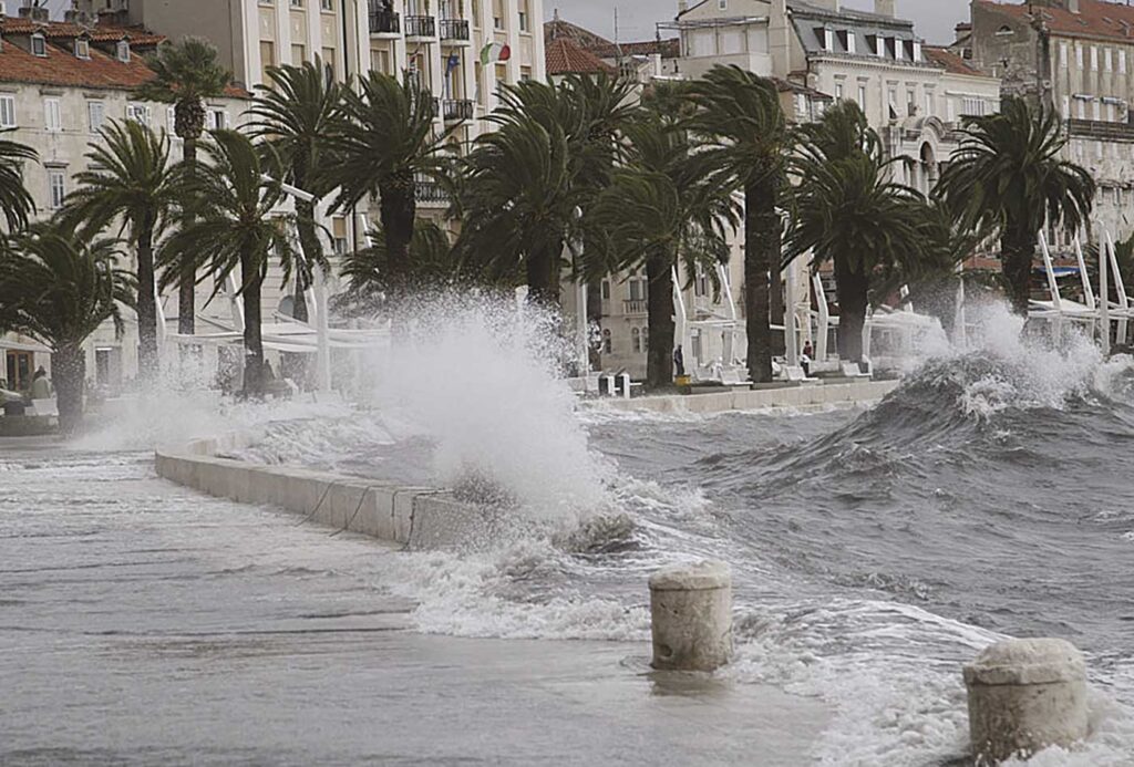
In November, storm-force or hurricane-force jugo and oštar bring heavy rain and powerful thunderstorms. They also create huge waves, making sailing impossible. During this month, the jugo will most likely be followed by a westerly wind, the pulentada (W). This wind rarely reaches storm force, but creates waves that can cause problems for sailors, either in channels between the islands or in harbours exposed to the west.
As the centre of the cyclone passes over the northern Adriatic Sea towards the nearby land, it creates a heavy residual swell. The waves can become quite large, since they develop in narrow channels and shallow waters. The jugo may also be followed by the tramonatana (N), with the bura usually close behind and sometimes reaching hurricane force. The bura occurs in the rear sector of the cyclone as it moves east and is a consequence of cold polar air reaching the Adriatic Sea area.
DECEMBER
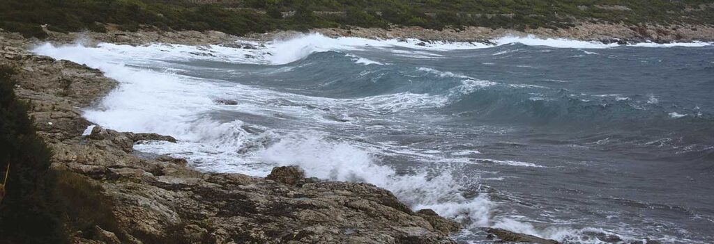
December is the month in which the jugo (SE), the pulentada (W) and the bura (NE) alternate, often with powerful gusts. The bura then gradually takes over and establishes its hold over the Adriatic. Before it takes complete control, the bura will still occasionally be replaced by its closest relative, the tramonatana (N). Like the bura, the tramonatana brings cold air to the Adriatic, but it is not nearly as gusty.
It is usually short-lived and turns into the bura after a day or two. In December, the bura can reach hurricane-force strength and disrupt all traffic routes, whether on land or at sea. The highest bura wind speed ever recorded on the eastern coast of the Adriatic was 250 km/h. It was measured during this very month, on the Maslinica Bridge, on 21 December 1998. In any case, there is no winter without wind.